Assessment of the Demographics and Social Economic Characteristics of Gallatin County, Ky
INTRODUCTION
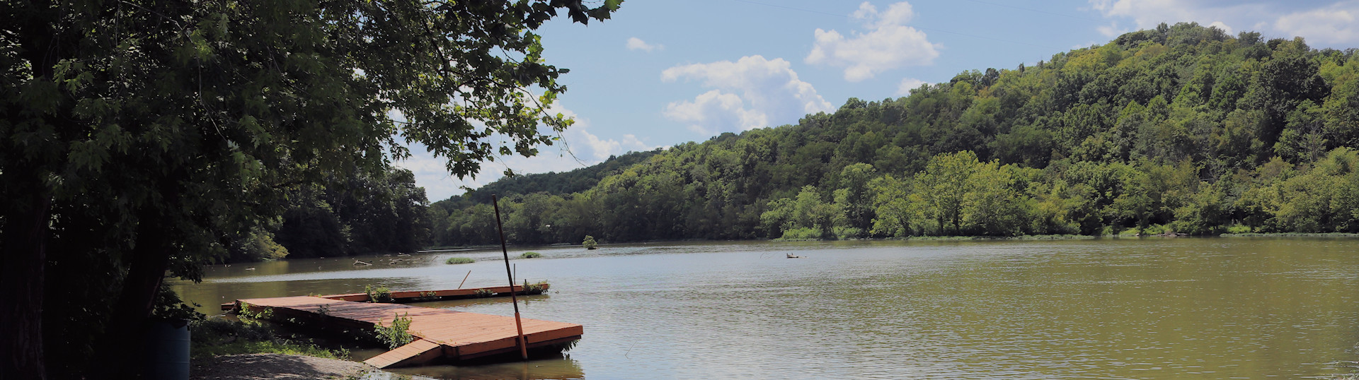
Gallatin COUNTY, KY
Photo courtesy of Gallatin County Tourism
Gallatin County covers approximately 99sq miles of land and is located in the southwestern central portion of what is known as Northern Kentucky, with its entire western boundary bordering the Ohio River. Founded in 1798 and named for Albert Gallatin, the Secretary of the Treasury under President Thomas Jefferson, Gallatin County became the 31st designated county in Kentucky.
Gallatin County is steeped in a rich river history as it became the center of river trade with New Orleans, exporting produce, furs, salt pork, soap, and hemp as well as lumber products. The river has been and continues to be a vital part of Gallatin County, connecting it with the rest of the country.
Today, Gallatin County encompasses the townships and communities of Warsaw, the county seat, Concord, Glencoe, Gold Star, Napolean, Sparta, and Veterans Memorial. Situated on the I-71 corridor and Ohio River, Gallatin County is considered a large fringe metropolitan area due to its proximity to the Greater Cincinnati Metropolitan area.
"Gallatin County, where the history of yesterday meets today"
Demographics and Socio-economic factors are those attributes and details specific to the populations in a given area. These details include such factors as race, ethnicity, gender, age, housing, employment, and income. In essence it includes the who, what, when, and where of a given population.
This report will explore these factors and details to help better understand our populations and how we can build-upon those details for a better future.